Timpoweap Cayon is a narrow, steep limestone canyon choked with boulders, chutes and sieves. This is a serious run for expert kayakers only. There is a road for scouting on right bank for most sections, trail on left bank for the canyon. Some sections can be scouted from roads that access the canyon from the north rim. Beware of very high water in Timpoweap! Not only do the rapids become quite serious, the dam keepers sometimes do open the flood gates on the Quail Creek diversion dam, creating an unportagable, eddyless mud lined gorge just above the dam. Boaters running the river from above would have no choice but to run the dam if the gates were open, which would most likely result in serious bodily injury or death.
I ran Timp during one day at high water with no problem in 2005, starting at the Virgin River Falls approximately 2 miles upstream of the dam. It rained hard that afternoon in Zion and the river level continued to rise. My group was camping just up the rim above Quail Creek Diversion Dam, and we watched with queasy stomachs the next day as the flood gates were opened and the death gorge formed. Had we elected to boat that day instead of the previous, it's hard to say if we would have sensed the need to get off the river well above the dam...or if we would have been swept into most certain doom. Make sure to scout the dam before launching upstream!
Trespassing to get around Quail Creek Diversion Dam will probably be necessary to access this run, unless you drive down into Timp and hike kayaks upstream to just below the dam...so be respectful and stealthy. The run is 5 miles in length from Virgin River Falls, or 3 miles if starting below Quail Creek Diversion Dam. The gradient is 78 fpm overall starting at the Falls, and approximately 90 fpm in the canyon.
At Virgin River Falls, the river drops through a narrows, though not a vertical falls. Class II-III rapids follow and continue for a hundred yards until the river goes under the Mesa Road Bridge. The river then meanders through the beginning of Timpoweap Canyon. The water is class I and very scenic. After around 2 miles, the Quail Creek Diversion Dam comes into view. An easy portage, (probably trespassing) is on river right a hundred yards above the dam. Take an old service road through a road-cut where a fence gate (with barbed wire) will need to be climbed. Walk down the road a put in where the river is accessible. The spillway of the dam, river left, has been run at high water. I have seen re-bar tangles stuck to the boulders downstream of the dam at very low water, and would be surprised if there were not more re-bar or other unpleasant construction detritus just below the dam...so go big if you choose...I will probably always walk the dam. You could possibly also seal launch into the narrow gorge just below the dam, but I have not located a good spot to do this yet.
Anyway, below the dam and subsequent narrows, put in and enjoy the boulder piles and fun rapids. Scout frequently, as some of the drops end in sieve like boulder piles. Try to avoid being upside down for long, as the limestone rock is quite sharp, angular, and abrasive. The rapids are semi-continuous for the first bit, and then kind of becomes pool drop-ish. The first big drop ends in a large boulder pile with small falls with a very fine line that has a big pin/sieve potential. This has probably been run, but we choose to portage. Be heads up for an old cement diversion dam below this drop a few hundred yards. There are two channels separated by a large boulder. We ran the right channel, since the left looked very sticky and terminal. Scout and decide for yourself. At the scout, you will see a road (high clearance 4x4) on river right that drops off the rim. This is a possible access road, that, along with some hiking, will get you just below the dam and narrows. Subaru's are not recommended as the road is rocky, rutted and very steep.
A little ways below the diversion dam, after some fun read and run class IV, a fun double-drop of about 12 foot total can be run left or right depending on flow. Scout left. After numerous more fun drops, a rocky lowhead with surf hole and pipe crossing is found. This lets you know you are nearing the takeout. Fun read and run class III-IV takes you to where the Highway 9 Bridge is far overhead above the river. Take out river left.
| Daniel Anderson | |
| Class | V |
| Current Flow |
48.1 CFS 06-12-2026 20:15 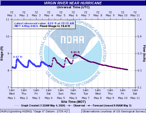
View River Forecast |
| Recommended Flow |
Minimum: 400.0 Average: 600.0 Maximum: 1400.0 |
| Typical Season |
Begins: April Ends: July |
| Recommended Use |
Kayaking: Yes Rafting: Yes Canoeing: Yes SUP: No Packrafting: No Fishing: No |
| Primary Gauge | VIRGIN RIVER NEAR HURRICANE, UT |
| Length | 5.0 Mile(s) |
| Gradient | 78.0 FPM |
