As the North Fork of the Flathead passes the Camas Creek road upstream from here the river enters a canyon setting. Remnants of a very large forest fire from the early 2000's scar the landscape as the new vegitation is re-emerging. This is another very scenic run on the North Fork with not nearly as much river traffic as the Middle Fork sees.
Rafters continuing from upstream will notice the river picks up a little here and there are several sections with some sizable waves that approach class III in nature. At medium to lower flows this run contain at least 3 very good surf waves for kayakers. 1 just below the putin, 1 half-way down the run and the last upstream a half a mile or so before the takeout. At high/flood flows expect very strong turbulent water with continuous waves throughout. Some features wash out and there are not a lot of eddy's. At lower flows this melows out and some of the waves start to come in.
Expect wet and soggy weather and cold water throughout most of the year. Everything should be read and run on this stretch but always keep an eye out for logjams and wood.
| Class | III- to III |
| Current Flow |
4640.0 CFS 07-07-2026 09:45 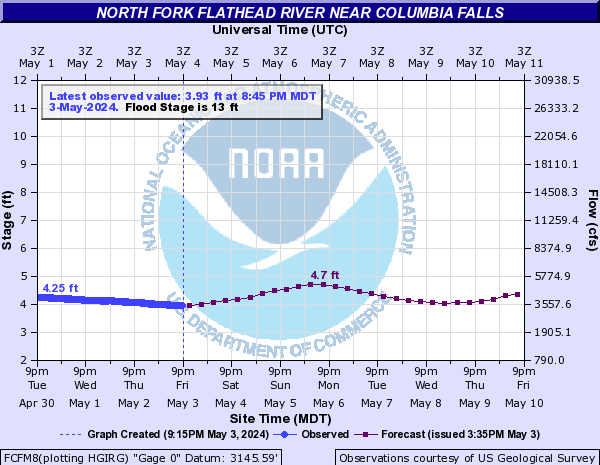
View River Forecast |
| Recommended Flow |
Minimum: 1000.0 Average: 7500.0 Maximum: 11000.0 |
| Typical Season |
Begins: March Ends: October |
| Recommended Use |
Kayaking: Yes Rafting: Yes Canoeing: Yes SUP: No Packrafting: No Fishing: Yes |
| Primary Gauge | N F Flathead River nr Columbia Falls MT |
| Length | 8.0 Mile(s) |
| Gradient | FPM |
