The North Fork leaves the canyon after passing Glacier Rim and it opens up into a small wooded valley. If you've come this far you might as well finish off the river at the confluence with the middle fork of the flathead.
This is a good fishing stretch with not a lot of whitewater action. Always keep an eye out for wood and logjams. The banks of the river become populated with homes and private property in this valley so be respectful of land owners. In case you want to shoot an animal from your raft this area is a no hunting zone because of residences in the area.
| Class | II |
| Current Flow |
7200.0 CFS 06-12-2026 07:45 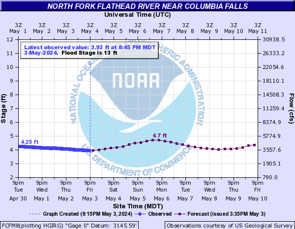
View River Forecast |
| Recommended Flow |
Minimum: 1000.0 Average: 7500.0 Maximum: 11000.0 |
| Typical Season |
Begins: March Ends: October |
| Recommended Use |
Kayaking: Yes Rafting: Yes Canoeing: Yes SUP: No Packrafting: No Fishing: Yes |
| Primary Gauge | N F Flathead River nr Columbia Falls MT |
| Length | 5.0 Mile(s) |
| Gradient | FPM |
