The mighty Salmon river begins it's journey draining to the north off of the sawtooths in central Idaho. This area is extremely picturesque and has a lot to offer (beyond river running). Backpacking, mountain biking, rock climbing and hiking are all available near Stanley. Stanley isn't the biggest town on the map but has basic services. You best bet is to setup a base camp somewhere around here and do day trips on the river.
The river from the Decker Flats area down to Stanley is smaller in nature and therefore has all of the characteristics of a smaller river. Runoff can create wood jams and other hazards. Low shallow rocky features abound in this stretch with not a lot of eddy opportunities (especially at higher water). Most will want to stick to hardshell kayaks or IK's to keep this run somewhat enjoyable. Rafts might take a beating here but it can be done in smaller rafts.
Highway 75 follows the river for the most part so scouting and various put in and take out options are available. The gradient here doesn't qualify as creeking but the shallow riverbed can remind you of that style of boating. The fishing on the upper stretches of the Salmon remain epic.
In short, if you are in the area with your boating gear definitely give this section a look over. If it looks too crazy or hazardous head downriver a bit to get some quality boating in. Otherewise enjoy all of the other outdoor opportunities here.
| Class | III- to III+ |
| Current Flow |
1750.0 CFS 05-04-2026 02:45 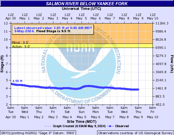
View River Forecast |
| Recommended Flow |
Minimum: 600.0 Average: 2500.0 Maximum: 6000.0 |
| Typical Season |
Begins: April Ends: October |
| Recommended Use |
Kayaking: Yes Rafting: No Canoeing: No SUP: No Packrafting: No Fishing: Yes |
| Primary Gauge | SALMON RIVER BL YANKEE FORK NR CLAYTON ID |
| Length | 10.2 Mile(s) |
| Gradient | 31.8 FPM |
