This is another excellent fishing section. If you like catching steelheads, get your drift boat or fishing raft out and go crazy on this 20 miles stretch. There are several put in and take out options to shorten or lengthen the run.
Not much as far as rapids here. Keep an eye out for sweepers, wood jams (in spring) and rocks. Overall this is a great class II stretch with great scenery. The river turns north at East Fork as it makes it's way to North Fork.
Mt Borah, tallest peak in Idaho, is not far from Challis. If you are in the area it is worth heading over there and looking at the fault line crack left from an earthquake not long ago.
| Class | II |
| Current Flow |
1870.0 CFS 05-02-2026 02:00 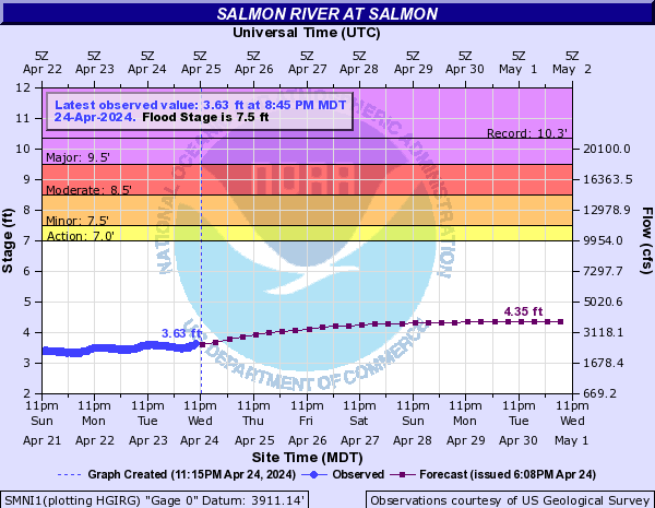
View River Forecast |
| Recommended Flow |
Minimum: 600.0 Average: 2000.0 Maximum: 8000.0 |
| Typical Season |
Begins: March Ends: October |
| Recommended Use |
Kayaking: Yes Rafting: Yes Canoeing: Yes SUP: Yes Packrafting: No Fishing: Yes |
| Primary Gauge | SALMON RIVER AT SALMON ID |
| Length | 20.0 Mile(s) |
| Gradient | 18.5 FPM |
