From Challis bridge the land flattens out some for the next few miles and the river diverges into several channels. This makes for some good exploring and fishing through this small valley. The river through this section also contains a large amount of private land. Be respectful and only access the river at appropriate access points.
Even though the river is calm and mainly class II water you have navigation and debris issues through this section.
| Class | II |
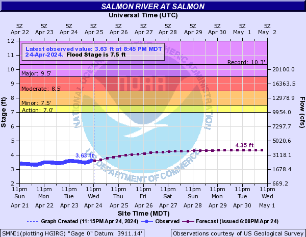
| Current Flow |
1130.0 CFS 12-04-2025 16:00 
View River Forecast |
| Recommended Flow |
Minimum: 800.0 Average: 2500.0 Maximum: 7000.0 |
| Typical Season |
Begins: March Ends: October |
| Recommended Use |
Kayaking: Yes Rafting: Yes Canoeing: Yes SUP: Yes Packrafting: No Fishing: Yes |
| Primary Gauge | SALMON RIVER AT SALMON ID |
| Length | 23.0 Mile(s) |
| Gradient | FPM |