
Snake River
Wyoming – US Idaho – US
Description
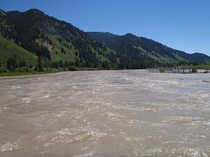
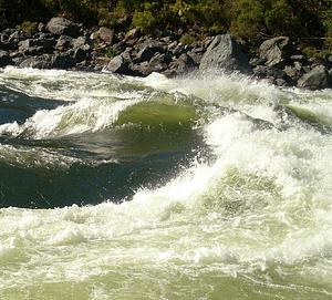
The Snake River begins in the heart of Yellowstone and Teton National Parks. The river then heads south and winds across the entire base of Idaho eventually meeting up with the mighty Columbia River and finally the Pacific Ocean.
Many recr
Photos
| Run | Class | Length | Current flow | Status |
|---|---|---|---|---|
| Alpine Canyon (West Table to Sheep Gulch) | III- to III+ | 8 Mile(s) |
1,570
CFS
@ Oct 10, 4:30 PM MDT
|
Running |
| Astoria to West Table | I to II | 9.5 Mile(s) |
1,570
CFS
@ Oct 10, 4:30 PM MDT
|
Too Low |
| Hells Canyon (Hells Canyon Dam to Pittsburg Landing) | III to IV | 31.5 Mile(s) |
12,700
CFS
@ Oct 1, 12:45 AM MDT
|
Running |
| Murtaugh Canyon | IV | 15 Mile(s) | Visual or unknown | Visual |
| Narrows | III- to III+ | 3.6 Mile(s) |
1,570
CFS
@ Oct 10, 4:30 PM MDT
|
Too Low |
| Palisade Dam to Lorenzo (South Fork) | II | 53 Mile(s) |
4,050
CFS
@ Oct 10, 4:30 PM MDT
|
Running |
| Pittsburg Landing to Heller Bar | II to III | 46 Mile(s) |
12,000
CFS
@ Oct 10, 4:45 PM MDT
|
Running |